Vaninsky Branch begins to provide geodesic and hydrographic services in the waters of the seaports of the Khabarovsk Territory
The FSUE “Rosmorport” Vanino Branch offers services for geodesic and hydrographic services in the waters areas of the seaports of Vanino, De-Kastri, Nikolaevsk-on-Amur, Okhotsk and Sovetskaya Gavan for all concerned organizations.
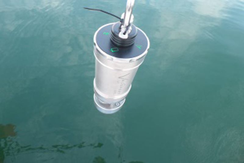
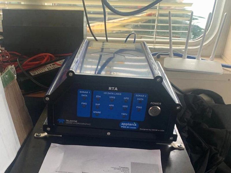
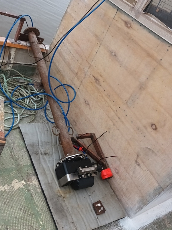
Geodesic and hydrographic services are provided by the Branch using modern automatic measuring equipment installed on the workboat Anatoly Klimov.
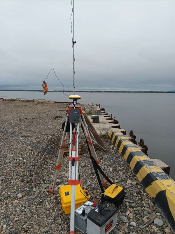
With the help of this equipment, the bottom relief survey is carried out using the areal survey method. The survey is carried out with a scan width from 10 to 140 degrees with bottom scanning using from 10 to 256 beams with confident operation at depths up to 200 m, which eliminates the possibility of missing navigational hazards. The use of RTK mode when performing hydrographic work makes it possible to achieve the accuracy of determining the location up to 10 cm, and the swell compensator allows you to perform work on a boat in adverse weather conditions.
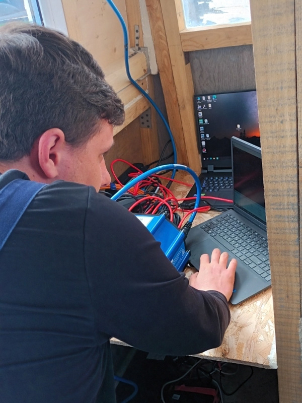
The collection of materials for measuring works and their further laboratory processing is carried out using the appropriate software.
For more information on the conditions and procedure for the provision of geodesic and hydrographic services by the Vanino Branch in the seaports of Vanino, De-Kastri, Nikolaevsk-on-Amur, Okhotsk and Sovetskaya Gavan, see “Geodesic and Hydrographic Services”.