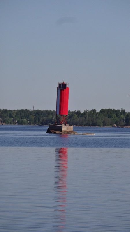
Aids to navigation given to the North-Western Basin Branch in the seaport of Vyborg
Pursuant to Resolution No 583-r of December 11, 2017 issued by Russia’s Federal Agency for Property Management Territorial Division for St Petersburg and Leningrad Region aids to navigation in the seaport of Vyborg have been assigned to FSUE “Rosmorport” on the basis of the right of economic management and by order of FSUE “Rosmorport” they have been placed under the North-Western Basin Branch management.
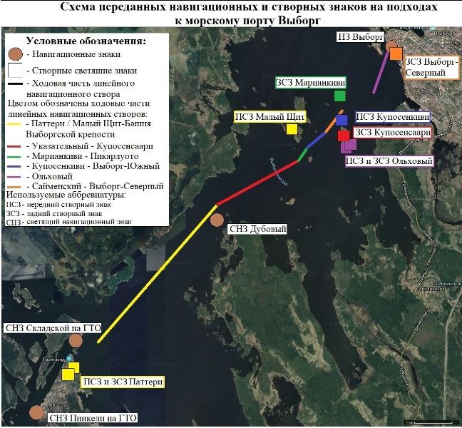
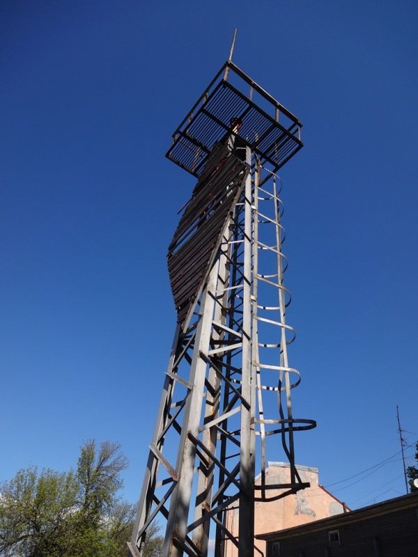
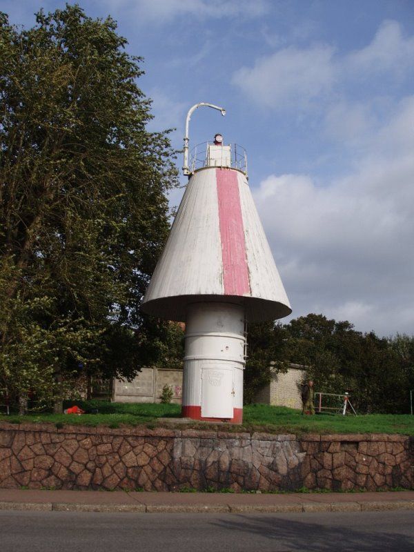
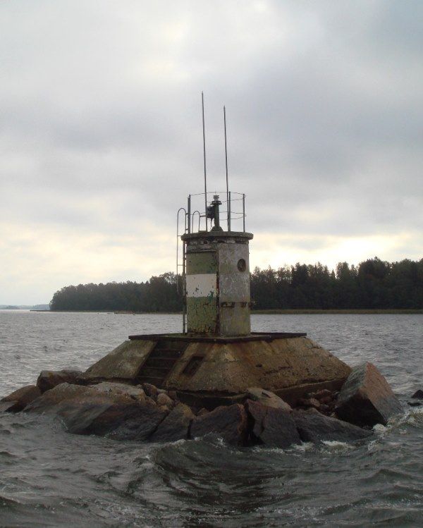
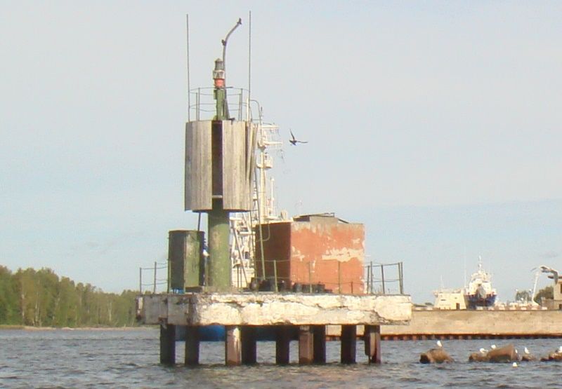
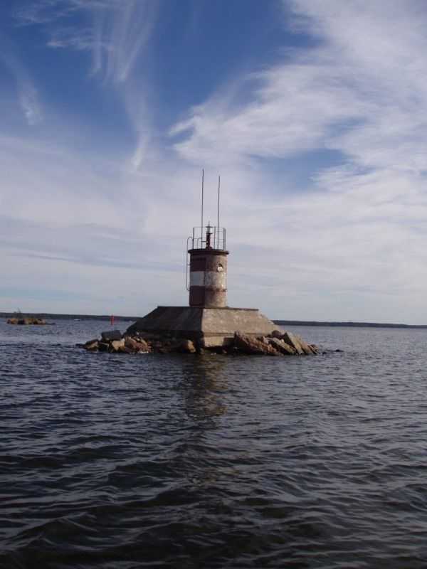
In particular, the branch has been given three marine lights and a navigational ranger marker located on the western coast of the northern part of Vysotsky Island, on the left side of the Vyborg Marine Shipping Canal, 130 kilometers from Skladskoy Island, on the bank of the Vyborg Marine Shipping Canal, 370 meters west of Cape Dubovy and directly within the city of Vyborg. These navigational range markers are designed for identifying a certain section of the sea or a coastal line and defining a ship’s position within the navigational range marker visibility distance on the approaches of a vessel toward the seaport of Vyborg.
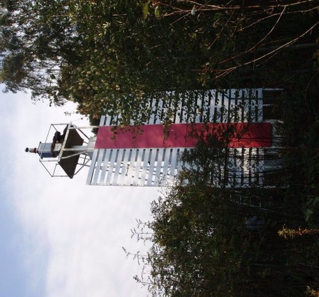
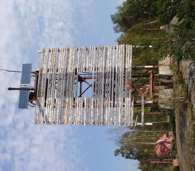
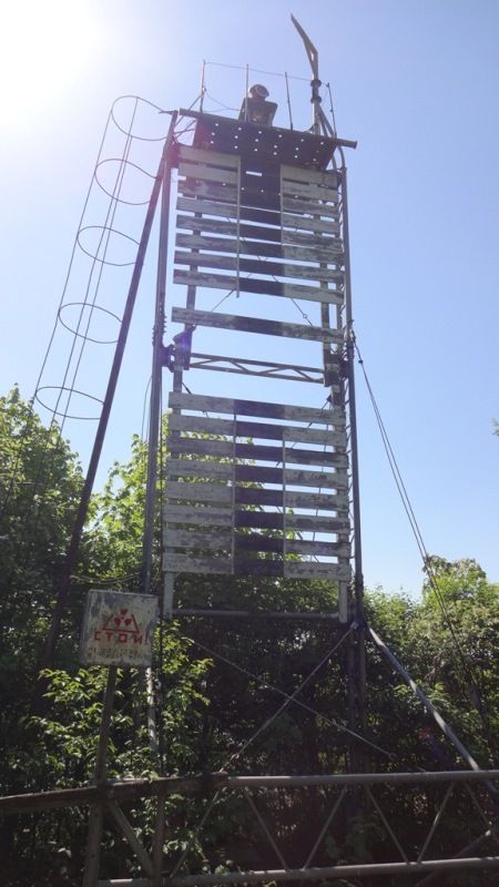
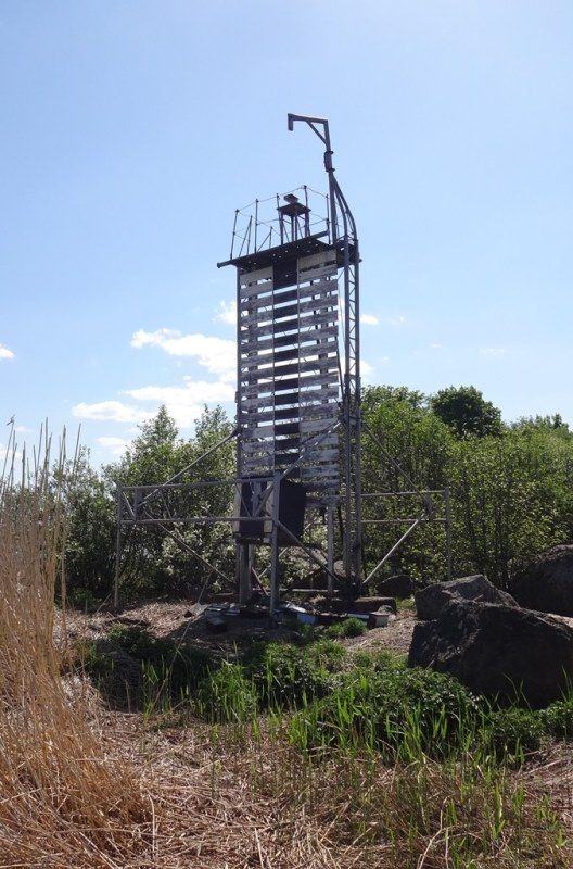
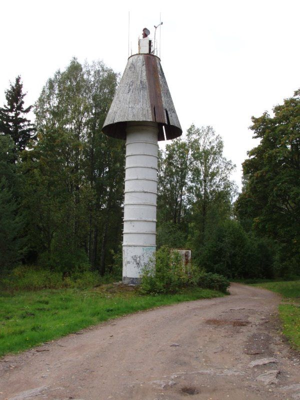
In addition to it, the North-Western Basin Branch has been given nine range markers in the seaport of Vyborg:
- the Patteri front and rear range markers designed for defining an axis of a ship’s route (43,1°-223,1°) on the seventh knee of the Vyborg Marine Shipping Canal;
- the Maly Shchit front navigational range marker, which forms up a reverse range of navigational markers to the Patteri range marker jointly with the rear range marker “The Vyborg Fortress Tower” under the supervision of Russia’s Navy Hydrographic Service and designed for defining an axis of a ship’s route (223,1°-43,1°) on the seventh knee of the Vyborg Marine Shipping Canal;
- the Kuposensaari rear navigational range marker, which is designed for defining an axis of a ship’s route (241,3°-61,3°) on the eighth knee of the Vyborg Marine Shipping Canal jointly with the Ukazatelny front navigational range marker, which is currently under the supervision of Russia’s Navy Hydrographic Service;
- the Mariankivi rear navigational range marker on uncovered stones and the Pikarluoto front navigational range marker designed for defining an axis of a ship’s route (215,5°-35,5°) on the ninth knee of the Vyborg Marine Shipping Canal;
- the Kuposenkivi front navigational range marker on uncovered stones. The range marker together with the Vyborg-Yuzhny rear navigational range marker currently under the supervision of Russia’s Navy Hydrographic Service is designed for defining an axis of a ship’s route (230,8°-50,8°) on the tenth knee of the Vyborg Marine Shipping Canal;
- the Vyborg-Severny rear navigational range marker and the Saimensky front navigational range marker that are designed for defining an axis of a ship’s route (219,6°-39,6°) on the eleventh knee of the Vyborg Marine Shipping Canal;
- the Olkhovy front and rear navigational range markers designed for defining an axis of a ship’s route (24,8°-204,8°) on the thirteenth knee of the Vyborg All mentioned ships’ routes axes of which are defined by range markers given to the enterprise are designed for ensuring navigation safety of vessels moving to the seaport of Vyborg.
Previously, the marine lights and navigational range markers were used by Russia’s Navy Hydrographic Service.